Geolocate

Leiderdorp topographic map

Click on the map to display elevation.

About this map
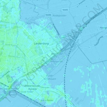
Name: Leiderdorp topographic map, elevation, terrain.

Location: Leiderdorp, South Holland, Netherlands (52.13190 4.51469 52.18212 4.57148)

Average elevation: 0 m

Minimum elevation: -4 m

Maximum elevation: 5 m

Gear up for your next adventure:

💧Personal Water Filters - Drink safely from streams and lakes identified on your map
🔥Camping Stoves - Portable stoves for outdoor cooking
🥶Thermal Beanies - Warm hats for cold hikes
🐍Australian Snake Bite Kits - Specific pressure immobilization bandages for Australian venomous snakes
👖Convertible Hiking Trousers - Zip-off legs to adapt to changing temperatures throughout the day

As an Amazon Associate, this site earns from qualifying purchases at no extra cost to you.