
Le Mas topographic map
Interactive map
Click on the map to display elevation.
About this map
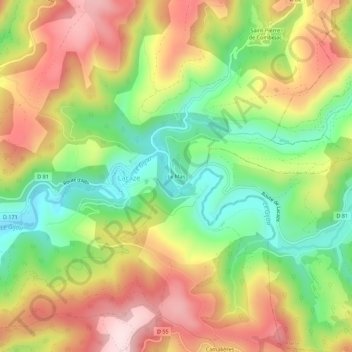
Name: Le Mas topographic map, elevation, terrain.
Average elevation: 619 m
Minimum elevation: 445 m
Maximum elevation: 805 m
Other topographic maps
Click on a map to view its topography, its elevation and its terrain.
Camalières
France > Occitanie > Tarn > Lacaze > Camalières
Camalières, Lacaze, Castres, Tarn, Occitanie, France métropolitaine, 81330, France
Average elevation: 624 m