
Runaway Bay topographic map
Interactive map
Click on the map to display elevation.
About this map
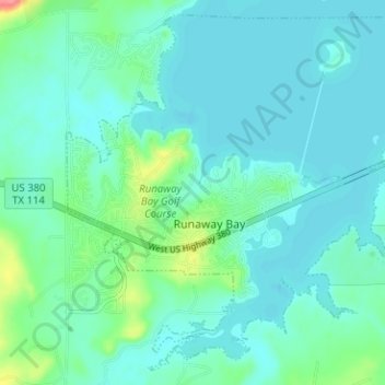
Name: Runaway Bay topographic map, elevation, terrain.
Location: Runaway Bay, Wise County, Texas, United States (33.14777 -97.90183 33.19661 -97.83878)
Average elevation: 264 m
Minimum elevation: 250 m
Maximum elevation: 328 m
Other topographic maps
Click on a map to view its topography, its elevation and its terrain.
Bluett
United States > Texas > Wise County
Bluett, Wise County, Texas, United States
Average elevation: 253 m