
Hunt topographic map
Interactive map
Click on the map to display elevation.
About this map
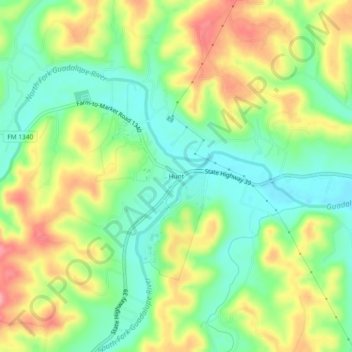
Name: Hunt topographic map, elevation, terrain.
Location: Hunt, Kerr County, Texas, 78024, USA (30.04955 -99.35521 30.08955 -99.31521)
Average elevation: 572 m
Minimum elevation: 527 m
Maximum elevation: 632 m