
Harvey Dam topographic map
Interactive map
Click on the map to display elevation.
About this map
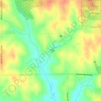
Name: Harvey Dam topographic map, elevation, terrain.
Location: Harvey Dam, Sarpy County, Nebraska, 68133, United States (41.09886 -96.00638 41.09935 -96.00510)
Average elevation: 335 m
Minimum elevation: 310 m
Maximum elevation: 357 m