
Artá topographic map
Interactive map
Click on the map to display elevation.
About this map
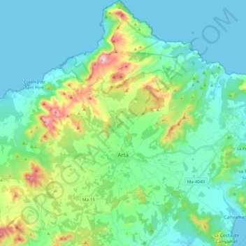
Name: Artá topographic map, elevation, terrain.
Location: Artá, Llevant, Islas Baleares, España (mare territorial) (39.63938 3.22507 39.78939 3.42082)
Average elevation: 119 m
Minimum elevation: 0 m
Maximum elevation: 553 m