Geolocate

San Roque topographic map

Click on the map to display elevation.

About this map

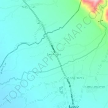
Name: San Roque topographic map, elevation, terrain.

Location: San Roque, Lupao, Nueva Ecija, Central Luzon, Philippines (15.87635 120.87189 15.91635 120.91189)

Average elevation: 161 m

Minimum elevation: 119 m

Maximum elevation: 378 m

Gear up for your next adventure:

🔦Powerful LED Headlamps - Hands-free lighting for night navigation and setting up camp after dark
🕶️Polarized Outdoor Sunglasses - Reduce glare from rocks and water for better visual navigation
🥤Hydration Packs - Hydration systems for hiking
📡Satellite Messengers - Emergency communication devices
🔋Solar Power Banks - Charge your phone and GPS using the sun while deep in the bush

As an Amazon Associate, this site earns from qualifying purchases at no extra cost to you.