
阿布洛哈村 topographic map
Interactive map
Click on the map to display elevation.
About this map
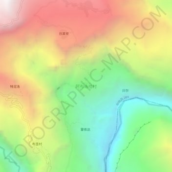
Name: 阿布洛哈村 topographic map, elevation, terrain.
Location: 阿布洛哈村, 布拖县, 凉山彝族自治州, 四川省, 616300, 中国 (27.43811 102.91942 27.47811 102.95942)
Average elevation: 1,631 m
Minimum elevation: 598 m
Maximum elevation: 2,857 m
Other topographic maps
Click on a map to view its topography, its elevation and its terrain.