
Carinda topographic map
Interactive map
Click on the map to display elevation.
About this map
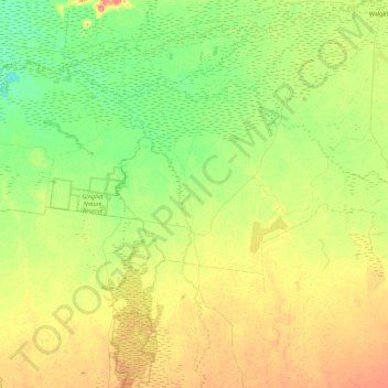
Name: Carinda topographic map, elevation, terrain.
Average elevation: 133 m
Minimum elevation: 118 m
Maximum elevation: 158 m
Walgett Shire Council trails, hiking, mountain biking, running and outdoor activities
Other topographic maps
Click on a map to view its topography, its elevation and its terrain.
Lighting Ridge Hot Artesian Baths
Australia > New South Wales > Walgett Shire Council > Lightning Ridge
Average elevation: 149 m