
Wildhorn topographic map
Interactive map
Click on the map to display elevation.
About this map
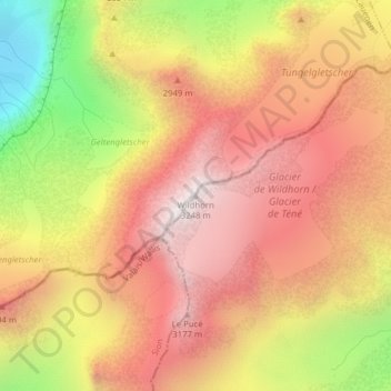
Name: Wildhorn topographic map, elevation, terrain.
Location: Wildhorn, Ayent, Ering, Wallis, 1966, Schweiz (46.35588 7.36217 46.35598 7.36227)
Average elevation: 2,768 m
Minimum elevation: 2,068 m
Maximum elevation: 3,225 m
Other topographic maps
Click on a map to view its topography, its elevation and its terrain.