
Großengottern topographic map
Interactive map
Click on the map to display elevation.
About this map
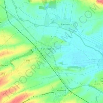
Name: Großengottern topographic map, elevation, terrain.
Average elevation: 191 m
Minimum elevation: 173 m
Maximum elevation: 236 m
Other topographic maps
Click on a map to view its topography, its elevation and its terrain.
Unstrut-Hainich
Deutschland > Thüringen > Unstrut-Hainich
Unstrut-Hainich, Unstrut-Hainich-Kreis, Thüringen, 99991, Deutschland
Average elevation: 279 m