Geolocate

Wathena topographic map

Click on the map to display elevation.

About this map

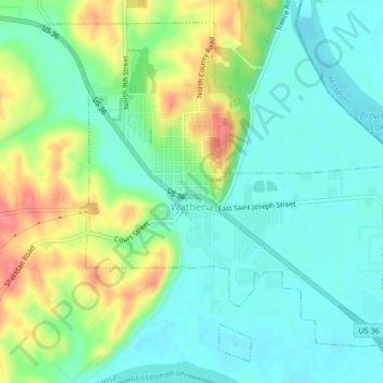
Name: Wathena topographic map, elevation, terrain.

Location: Wathena, Doniphan County, Kansas, 66090, United States (39.74689 -94.96457 39.77546 -94.92261)

Average elevation: 266 m

Minimum elevation: 242 m

Maximum elevation: 314 m

Other topographic maps

Click on a map to view its topography, its elevation and its terrain.

Bendena

United States > Kansas > Doniphan County

Average elevation: 328 m

Fanning

United States > Kansas > Doniphan County

Average elevation: 291 m

Gear up for your next adventure:

🧰Survival Kits - Essential survival gear
🕶️Polarized Sunglasses - UV protection sunglasses for outdoors
🎒Tactical Waist Packs - Quick access to your compass, phone, and snacks while walking
🛠️Outdoor Repair Kits - Gear repair kits
🧥Down Jackets - Insulated jackets for cold weather

As an Amazon Associate, this site earns from qualifying purchases at no extra cost to you.