
Viani topographic map
Interactive map
Click on the map to display elevation.
About this map
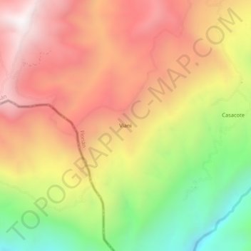
Name: Viani topographic map, elevation, terrain.
Location: Viani, Florián, Vélez, Santander, RAP Gran Santander, Colombia (5.73916 -74.01453 5.77916 -73.97453)
Average elevation: 1,268 m
Minimum elevation: 521 m
Maximum elevation: 1,872 m
Other topographic maps
Click on a map to view its topography, its elevation and its terrain.