
College of St Hild and St Bede topographic map
Interactive map
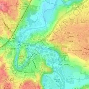
Click on the map to display elevation.
About this map
Name: College of St Hild and St Bede topographic map, elevation, terrain.
Average elevation: 64 m
Minimum elevation: 25 m
Maximum elevation: 111 m