
Make a donation
Gear up for your next adventure:
As an Amazon Associate, this site earns from qualifying purchases at no extra cost to you.
De Schiphorst topographic map
Click on the map to display elevation.
Make a donation
Gear up for your next adventure:
As an Amazon Associate, this site earns from qualifying purchases at no extra cost to you.
About this map
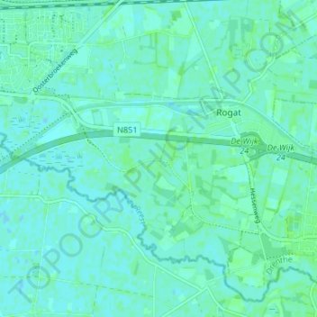
Name: De Schiphorst topographic map, elevation, terrain.
Location: De Schiphorst, Meppel, Drenthe, Nederland, 7966 AC, Nederland (52.66274 6.23165 52.70274 6.27165)
Average elevation: 3 m
Minimum elevation: -1 m
Maximum elevation: 6 m
Make a donation
Gear up for your next adventure:
As an Amazon Associate, this site earns from qualifying purchases at no extra cost to you.
Other topographic maps
Click on a map to view its topography, its elevation and its terrain.
Meppel
De wateren die door het centrum van Meppel voeren worden grachten genoemd. Mede vanwege de namen Heerengracht, Keizersgracht en Prinsengracht wordt de stad ook weleens het Mokum van het Noorden genoemd. Ook om andere redenen wordt Meppel met Amsterdam vergeleken. Zo zijn er al eeuwenlang banden tussen beide…
Average elevation: 2 m