
Batché Yedé topographic map
Interactive map
Click on the map to display elevation.
About this map
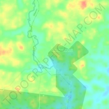
Name: Batché Yedé topographic map, elevation, terrain.
Location: Batché Yedé, Grands-Ponts, Lagunes, Côte d'Ivoire (5.55084 -4.51226 5.59084 -4.47226)
Average elevation: 61 m
Minimum elevation: 41 m
Maximum elevation: 88 m
Other topographic maps
Click on a map to view its topography, its elevation and its terrain.
Agnéby-Tiassa
Agnéby-Tiassa, Lagunes, 225, Côte d'Ivoire
Average elevation: 83 m