
Spreyton topographic map
Interactive map
Click on the map to display elevation.
About this map
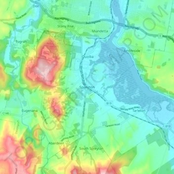
Name: Spreyton topographic map, elevation, terrain.
Location: Spreyton, Tasmania, TAS 7310, Australia (-41.26180 146.30733 -41.18180 146.38733)
Average elevation: 66 m
Minimum elevation: -1 m
Maximum elevation: 245 m