
Fauler See topographic map
Interactive map
Click on the map to display elevation.
About this map
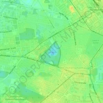
Name: Fauler See topographic map, elevation, terrain.
Location: Fauler See, Weißensee, Pankow, Berlín, 13088, Alemania (52.55350 13.49055 52.55581 13.49449)
Average elevation: 57 m
Minimum elevation: 44 m
Maximum elevation: 69 m
Other topographic maps
Click on a map to view its topography, its elevation and its terrain.