
Bay City topographic map
Interactive map
Click on the map to display elevation.
About this map
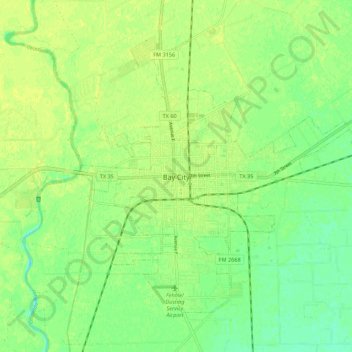
Name: Bay City topographic map, elevation, terrain.
Location: Bay City, Matagorda County, Texas, USA (28.94579 -96.00006 29.02026 -95.89052)
Average elevation: 16 m
Minimum elevation: 6 m
Maximum elevation: 21 m