
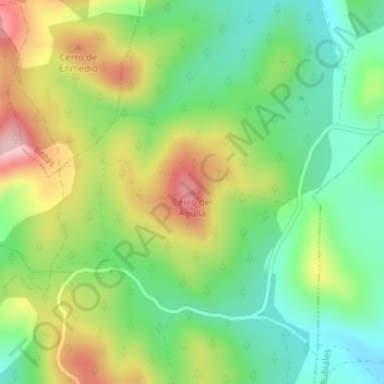
Cerro del Águila topographic map
Interactive map
Click on the map to display elevation.
About this map
Name: Cerro del Águila topographic map, elevation, terrain.
Location: Cerro del Águila, Albarracín, Teruel, Aragón, España (40.27631 -1.32212 40.27641 -1.32202)
Average elevation: 1,327 m
Minimum elevation: 1,236 m
Maximum elevation: 1,464 m