Geolocate

Dalije topographic map

Click on the map to display elevation.

About this map
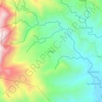
Name: Dalije topographic map, elevation, terrain.

Location: Dalije, Miagao, Iloilo, Western Visayas, Philippines (10.65831 122.12368 10.69831 122.16368)

Average elevation: 358 m

Minimum elevation: 72 m

Maximum elevation: 890 m

Gear up for your next adventure:

📖Australian Bush Survival Books - Local knowledge on finding water and surviving the outback
🕶️Polarized Outdoor Sunglasses - Reduce glare from rocks and water for better visual navigation
🍳Ultralight Camping Stoves - Boil water quickly for meals using minimal fuel
🎒40L Day Hiking Backpacks - Comfortable packs with hydration support for long days exploring topographic peaks
🧭Military Style Lensatic Compass - Durable sighting compasses for advanced land navigation and surveying

As an Amazon Associate, this site earns from qualifying purchases at no extra cost to you.