
San Bautista topographic map
Interactive map
Click on the map to display elevation.
About this map
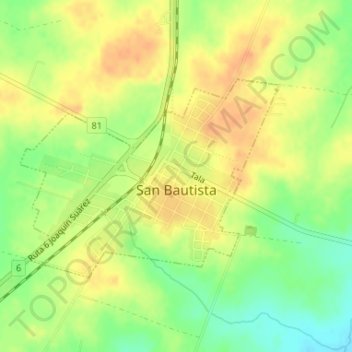
Name: San Bautista topographic map, elevation, terrain.
Location: San Bautista, Canelones, 90604, Uruguay (-34.44757 -55.97410 -34.43244 -55.94987)
Average elevation: 72 m
Minimum elevation: 49 m
Maximum elevation: 87 m