
Fort Smith topographic map
Interactive map
Click on the map to display elevation.
About this map
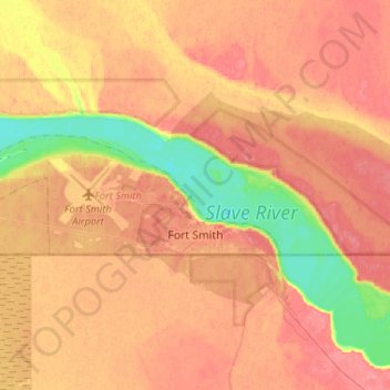
Name: Fort Smith topographic map, elevation, terrain.
Average elevation: 202 m
Minimum elevation: 164 m
Maximum elevation: 224 m
Other topographic maps
Click on a map to view its topography, its elevation and its terrain.
Plateau Creek
Canada > Territoires du Nord-Ouest > South Slave Region
Plateau Creek, South Slave Region, Territoires du Nord-Ouest, Canada
Average elevation: 228 m