
Plaza topographic map
Interactive map
Click on the map to display elevation.
About this map
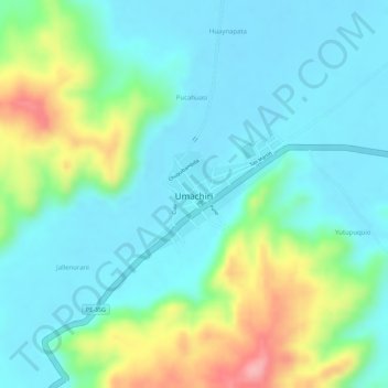
Name: Plaza topographic map, elevation, terrain.
Location: Plaza, Umachiri, Melgar, Puno, Perú (-14.85390 -70.75393 -14.85320 -70.75320)
Average elevation: 3,952 m
Minimum elevation: 3,913 m
Maximum elevation: 4,051 m
Other topographic maps
Click on a map to view its topography, its elevation and its terrain.