
Lötschental topographic map
Interactive map
Click on the map to display elevation.
About this map
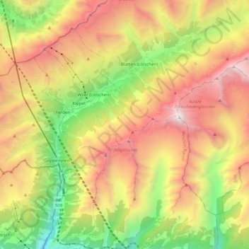
Name: Lötschental topographic map, elevation, terrain.
Location: Lötschental, Blatten, Westlich Raron, Wallis, 3919, Switzerland (46.32011 7.74402 46.45511 7.91816)
Average elevation: 2,219 m
Minimum elevation: 706 m
Maximum elevation: 3,908 m