
Tanawa topographic map
Interactive map
Click on the map to display elevation.
About this map
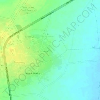
Name: Tanawa topographic map, elevation, terrain.
Location: Tanawa, Kura, Kano State, Nigeria (11.77016 8.42852 11.77784 8.43792)
Average elevation: 465 m
Minimum elevation: 454 m
Maximum elevation: 478 m