Geolocate

Rajarhat topographic map

Click on the map to display elevation.

About this map
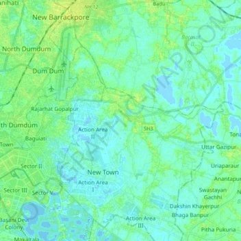
Name: Rajarhat topographic map, elevation, terrain.

Location: Rajarhat, North 24 Parganas, West Bengal, India (22.55607 88.39162 22.68522 88.55577)

Average elevation: 4 m

Minimum elevation: -3 m

Maximum elevation: 12 m

Gear up for your next adventure:

☕Outdoor Coffee Makers - Enjoy quality coffee at the summit of your favorite peak
🧰Survival Kits - Essential survival gear
🌿Flora and Fauna Field Guides - Identify the plants and animals you encounter on your route
🖼️Scratch-off Australia Map - Track the regions and peaks you have explored geographically
🕶️Polarized Sunglasses - UV protection sunglasses for outdoors

As an Amazon Associate, this site earns from qualifying purchases at no extra cost to you.