
Thornville topographic map
Interactive map
Click on the map to display elevation.
About this map
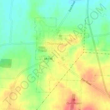
Name: Thornville topographic map, elevation, terrain.
Location: Thornville, Perry County, Ohio, United States (39.88454 -82.42664 39.90279 -82.39653)
Average elevation: 301 m
Minimum elevation: 270 m
Maximum elevation: 337 m