
天光山 topographic map
Interactive map
Click on the map to display elevation.
About this map
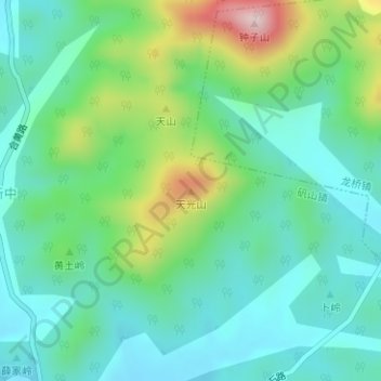
Name: 天光山 topographic map, elevation, terrain.
Location: 天光山, 合肥市, 安徽省, 中国 (31.07024 117.44259 31.07034 117.44269)
Average elevation: 148 m
Minimum elevation: 57 m
Maximum elevation: 395 m
Other topographic maps
Click on a map to view its topography, its elevation and its terrain.