
Wentorf (Amt Sandesneben) topographic map
Interactive map
Click on the map to display elevation.
About this map
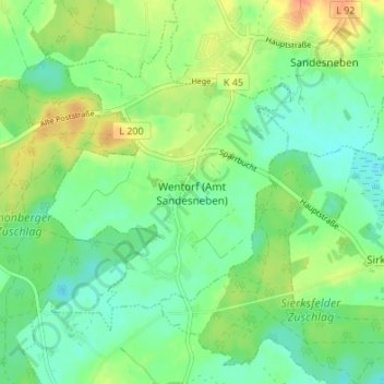
Name: Wentorf (Amt Sandesneben) topographic map, elevation, terrain.
Average elevation: 55 m
Minimum elevation: 40 m
Maximum elevation: 78 m