Geolocate

Greatham topographic map

Click on the map to display elevation.

Greatham

[From History, Topography and Directory of Durham, Whellan, London, 1894]

Wikipedia (CC-BY-SA 3.0)

About this map

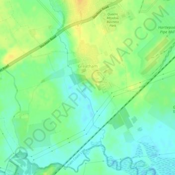
Name: Greatham topographic map, elevation, terrain.

Location: Greatham, Hartlepool, Tees Valley, England, United Kingdom (54.62469 -1.26674 54.65077 -1.22433)

Average elevation: 12 m

Minimum elevation: -1 m

Maximum elevation: 26 m

Other topographic maps

Click on a map to view its topography, its elevation and its terrain.

Hartlepool

United Kingdom > England > Hartlepool

Average elevation: 16 m

Teesmouth

United Kingdom > England > Hartlepool

Average elevation: 1 m

Hartlepool

United Kingdom > England > Hartlepool

Average elevation: 16 m

Gear up for your next adventure:

🪫Rechargeable Headlamps - USB rechargeable headlamps
🛌Sleeping Mats - Insulated mats for camping comfort
📣High-Decibel Survival Whistles - Signaling tool for rescue that carries much further than a human voice
Lightweight Tents - Compact tents for backpacking
🔑Heavy Duty Carabiners - Secure gear to the outside of your pack for easy access

As an Amazon Associate, this site earns from qualifying purchases at no extra cost to you.