
ناز ٢١٦ topographic map
Interactive map
Click on the map to display elevation.
About this map
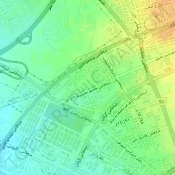
Name: ناز ٢١٦ topographic map, elevation, terrain.
Average elevation: 402 m
Minimum elevation: 389 m
Maximum elevation: 419 m
Other topographic maps
Click on a map to view its topography, its elevation and its terrain.
Khabat
Iraq > Erbil Governorate > Khabat
Khabat, Khabat Central Subdistrict, Khabat District, Erbil Governorate, Iraqi Kurdistan, Iraq
Average elevation: 294 m
Erbil
Erbil, Erbil Central Subdistrict, Erbil District, Erbil Governorate, Iraqi Kurdistan Region, 44001, Iraq
Average elevation: 462 m