
Kariba topographic map
Interactive map
Click on the map to display elevation.
About this map
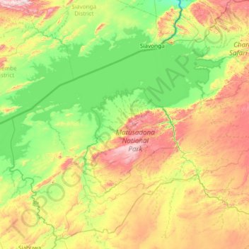
Name: Kariba topographic map, elevation, terrain.
Location: Kariba, Mashonaland West Province, Zimbabwe (-17.42499 28.03112 -16.36787 29.21512)
Average elevation: 668 m
Minimum elevation: 371 m
Maximum elevation: 1,372 m