
介壽里 topographic map
Interactive map
Click on the map to display elevation.
About this map
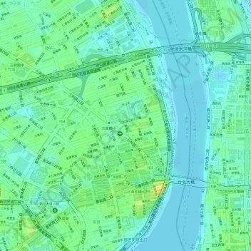
Name: 介壽里 topographic map, elevation, terrain.
Location: 介壽里, Sanchong, 介壽里, Nouveau Taipei, Taïwan (25.06891 121.49776 25.07055 121.50093)
Average elevation: 9 m
Minimum elevation: -1 m
Maximum elevation: 25 m