
Jarés topographic map
Interactive map
Click on the map to display elevation.
About this map
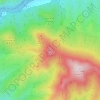
Name: Jarés topographic map, elevation, terrain.
Location: Jarés, Gallipienzo, Navarre, Espagne (42.50802 -1.39604 42.50812 -1.39594)
Average elevation: 591 m
Minimum elevation: 369 m
Maximum elevation: 875 m