
Bragance topographic map
Interactive map
Click on the map to display elevation.
About this map
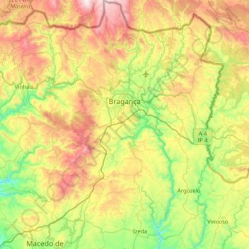
Name: Bragance topographic map, elevation, terrain.
Location: Bragance, Nord, Portugal (41.53458 -6.95448 41.99252 -6.51551)
Average elevation: 768 m
Minimum elevation: 313 m
Maximum elevation: 1,539 m