
Racour topographic map
Interactive map
Click on the map to display elevation.
About this map
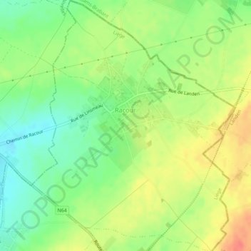
Name: Racour topographic map, elevation, terrain.
Location: Racour, Lincent, Waremme, Liège, Wallonia, Belgium (50.72342 5.01282 50.75080 5.04793)
Average elevation: 87 m
Minimum elevation: 63 m
Maximum elevation: 113 m