
Navalafuente topographic map
Interactive map
Click on the map to display elevation.
About this map
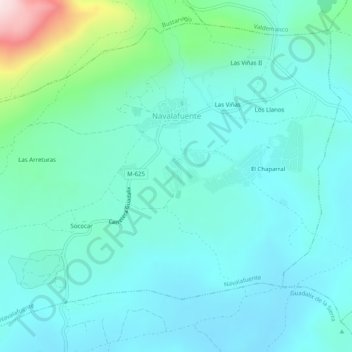
Name: Navalafuente topographic map, elevation, terrain.
Location: Navalafuente, Sierra Norte, Comunidad de Madrid, Spanje (40.80018 -3.70144 40.83328 -3.65125)
Average elevation: 931 m
Minimum elevation: 842 m
Maximum elevation: 1,362 m