
Cleveland topographic map
Click on the map to display elevation.
About this map
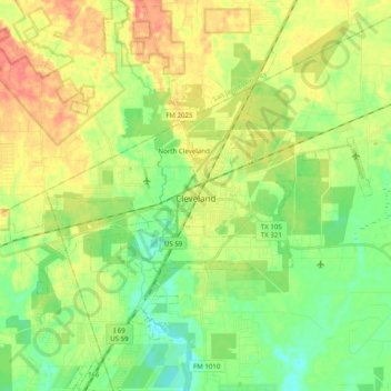
Name: Cleveland topographic map, elevation, terrain.
Location: Cleveland, Liberty County, Texas, 77327, United States (30.27974 -95.19807 30.40546 -95.00061)
Average elevation: 47 m
Minimum elevation: 26 m
Maximum elevation: 73 m