
江西沟镇 topographic map
Interactive map
Click on the map to display elevation.
About this map
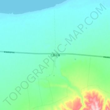
Name: 江西沟镇 topographic map, elevation, terrain.
Location: 江西沟镇, 共和县, 海南藏族自治州, 青海省, 813000, 中国 (36.57764 100.23455 36.65764 100.31455)
Average elevation: 3,251 m
Minimum elevation: 3,194 m
Maximum elevation: 3,495 m
Other topographic maps
Click on a map to view its topography, its elevation and its terrain.