
Epping topographic map
Interactive map
Click on the map to display elevation.
About this map
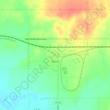
Name: Epping topographic map, elevation, terrain.
Location: Epping, Williams County, North Dakota, United States (48.27684 -103.36684 48.28468 -103.34500)
Average elevation: 676 m
Minimum elevation: 651 m
Maximum elevation: 709 m