
Guettara topographic map
Interactive map
Click on the map to display elevation.
About this map
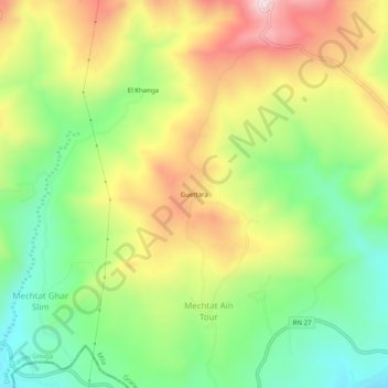
Name: Guettara topographic map, elevation, terrain.
Location: Guettara, Daïra Grarem Gouga, Mila, RADP (36.49811 6.41158 36.53811 6.45158)
Average elevation: 423 m
Minimum elevation: 219 m
Maximum elevation: 686 m