
打浦桥街道 topographic map
Interactive map
Click on the map to display elevation.
About this map
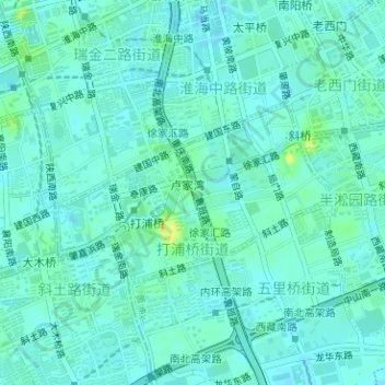
Name: 打浦桥街道 topographic map, elevation, terrain.
Location: 打浦桥街道, Huangpu, Xangai, 200025, China (31.20309 121.45741 31.21582 121.48022)
Average elevation: 10 m
Minimum elevation: 3 m
Maximum elevation: 36 m