
Hovdebygda topographic map
Interactive map
Click on the map to display elevation.
About this map
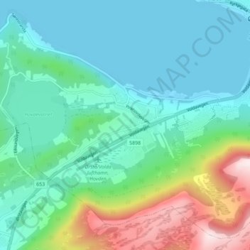
Name: Hovdebygda topographic map, elevation, terrain.
Location: Hovdebygda, Ørsta, Möre und Romsdal, 6160, Norwegen (62.16399 6.05895 62.20399 6.09895)
Average elevation: 139 m
Minimum elevation: 0 m
Maximum elevation: 598 m