
Johnson topographic map
Interactive map
Click on the map to display elevation.
About this map
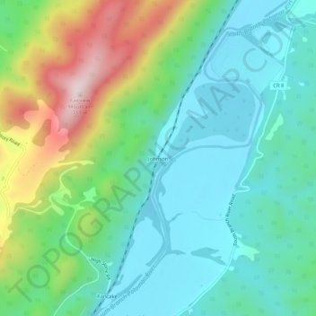
Name: Johnson topographic map, elevation, terrain.
Location: Johnson, Hampshire County, West Virginia, United States (39.25566 -78.84558 39.29566 -78.80558)
Average elevation: 340 m
Minimum elevation: 199 m
Maximum elevation: 700 m