
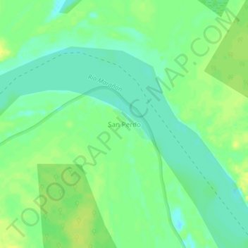
San Perdo topographic map
Interactive map
Click on the map to display elevation.
About this map
Name: San Perdo topographic map, elevation, terrain.
Location: San Perdo, Urarinas, Loreto, Pérou (-4.78158 -75.08308 -4.74158 -75.04308)
Average elevation: 107 m
Minimum elevation: 98 m
Maximum elevation: 116 m