
May Pen topographic map
Interactive map
Click on the map to display elevation.
About this map
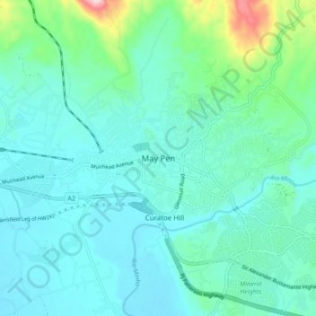
Name: May Pen topographic map, elevation, terrain.
Location: May Pen, Clarendon, Middlesex County, Jamaica (17.93464 -77.29820 18.01464 -77.21820)
Average elevation: 88 m
Minimum elevation: 35 m
Maximum elevation: 351 m