
Comms Tower topographic map
Interactive map
Click on the map to display elevation.
About this map
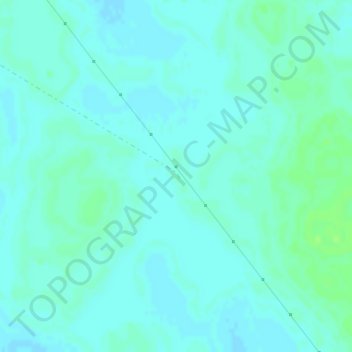
Name: Comms Tower topographic map, elevation, terrain.
Average elevation: 58 m
Minimum elevation: 55 m
Maximum elevation: 64 m
Other topographic maps
Click on a map to view its topography, its elevation and its terrain.
Mallee
Australia > New South Wales > Mallee
Mallee, Wentworth Shire Council, New South Wales, Australia
Average elevation: 75 m