
Hahnenkamm topographic map
Interactive map
Click on the map to display elevation.
About this map
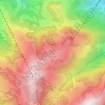
Name: Hahnenkamm topographic map, elevation, terrain.
Average elevation: 1,440 m
Minimum elevation: 886 m
Maximum elevation: 1,817 m
Über Kitzbühel erhebt sich der Hahnenkamm mit einer Höhe von 1712 m ü. A. Der eigentlich höchste Punkt am Hahnenkamm ist die Ehrenbachhöhe mit einer Höhe von 1802 m ü. A.
Other topographic maps
Click on a map to view its topography, its elevation and its terrain.
Achrain
Österreich > Tirol > Bezirk Kitzbühel > Stadt Kitzbühel
Achrain, Stadt Kitzbühel, Bezirk Kitzbühel, Tirol, 6370, Österreich
Average elevation: 873 m