
Cose topographic map
Interactive map
Click on the map to display elevation.
About this map
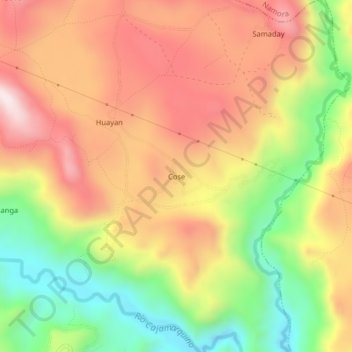
Name: Cose topographic map, elevation, terrain.
Location: Cose, Cajamarca, Pérou (-7.27703 -78.33262 -7.23703 -78.29262)
Average elevation: 2,714 m
Minimum elevation: 2,401 m
Maximum elevation: 2,991 m